 |
| Great Gable lurking behind Kirk Fell |
 |
| just over 9 miles |
 |
| 5 Wainwrights (3 new ones) |
I've had this route in mind for a while. I was just waiting for good weather. We've had some proper summer sunshine lately and there were blue skies when I set off from home so I was a bit surprised when I arrived at Wasdale Head to murky looking cloud. I've been gaining more confidence with my navigation lately so, what would have previously been deal-breaking cloud turned into a chance to practice using my compass, even if the views weren't going to be brilliant.
I noticed that the route I had planned unhelpfully straddled two OS maps so I stopped at the Wasdale Head shop and picked up a Harvey Superwalker map which covered the area nicely. Not quite as detailed as an OS map but some people, myself included, find them a bit clearer because they don't have things like parish boundary lines and other things you don't need when walking or running.
 |
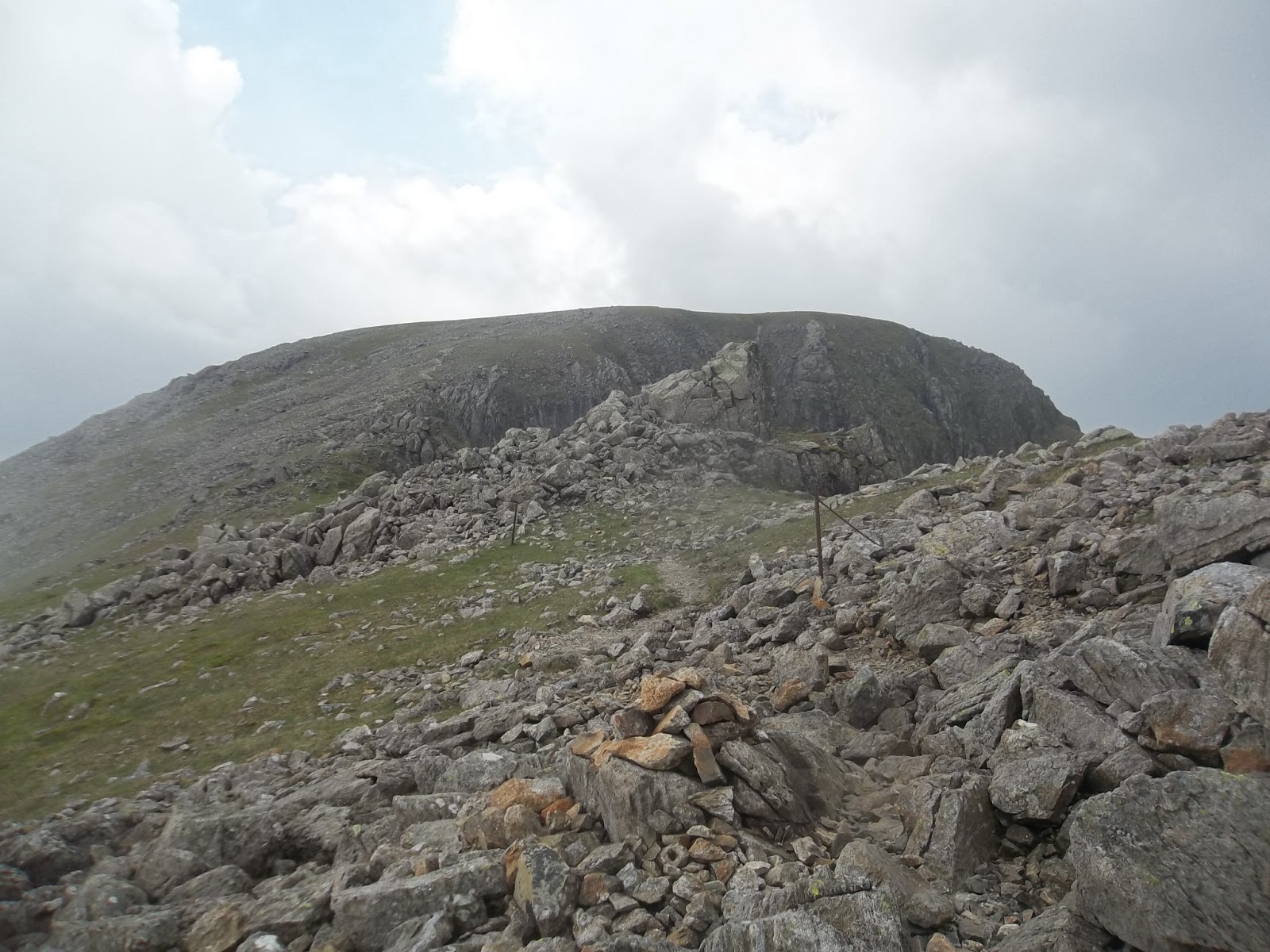
| there's the path up Kirk Fell. |
 |
| up, up, up |
First up was the direct ascent of Kirk Fell. As you drive into Wasdale Head you can see the trod up the nose of Kirk Fell. It looks very steep but I didn't find it as bad as I thought it was going to be. I broke the climb up into sections, picking a spot and then slowly climbing, resting and carrying on. One useful tip I have picked up when climbing is to take more steps than you think you need. The natural inclination is to stride up - to try to power to the top. What you end up doing is burning yourself out. This tip also works when tackling big hills on a bike - more revolutions, high cadence, slow and steady.
There is a big stone halfway up the grass section. I aimed for here first and then for the top of the grass section. Towards the top the path turns to scree. Here the difficulty moves from pacing yourself so as not to burn out to finding the path through the scree. It flattens out eventually and, after a short stretch, you are at the top.
 |
| almost at the top of the grassy bit - just steep scree to negotiate now |
 |
| Dorehead Screes - my route of descent. |
There was very little wind going up Kirk Fell. The cloud was rolling over and it was very close and muggy. I saw a group of other fell runners reccying a run. I had an energy bar at the top, a drink and then sat down to consult my map. Visibility wasn't great so the compass came out. I took a bearing down to the crossroads on Black Sail Pass. I noticed an old fence line heading down and was able to follow this to the cross roads.
Kirkfell Crags were not too difficult to negotiate. I met a couple at the bottom struggling up the scree. I hopefully pointed them in the right direction. Scree has to be one of the most unpleasant surfaces to go up and can be one of the best to come down. I told them that once they got off the scree, and started climbing, it got a lot easier. I suppose it doesn't make immediate sense that climbing rock is easier than walking up but hopefully as they continued up they found this to be the case.
Further on, at Black Sail Pass, I stopped to talk to another couple who were considering going the same way. I think I persuaded them to try it too.
 |
| Kirk Fell summit |
 |
| hot stuff |
 |
| I think that col is Scarth Gap Pass with Haystacks to the right and High Crag to the left |
The climb up to Pillar seemed remarkably easy. I think I was comparing it with a climb from the valley bottom whereas the crossing at Black Sail Pass is about 1800ft up. I was going well and managed to run a fair bit of the track up to Pillar summit.
 |
| on the way up to Pillar looking across Ennerdale to the High Stile Range |
 |
| Pillar - a classic fell. |
 |
| grassy top of Pillar |
 |
| looking down Ennerdale Valley |
 |
| climber on Pillar Rock |
 |
| Scoat Fell and Steeple |
Black Crag is in between Pillar and Scoat Fell. It's not a Wainwright, but could well have been. Perhaps outshone by mightier neighbours. There is a nice track over the top and a really nice grassy run from it towards Scoat Fell.
 |
| heading over Black Crag to Scoat Fell and Steeple. |
 |
| from Black Crag summit cairn. |
 |
| Red Pike |
 |
| Steeple |
 |
| Steeple summit cairn |
Heading over to Scoat Fell, I was excited to be visiting new territory. Red Pike was on the left and Steeple on the right.
I would head to Steeple first. From the cairn on Scoat Fell, I turned right and dropped down along an interesting, almost ridge-like track. The summit cairn isn't nearly as interesting as the path towards it though.
I had planned to take a break and eat something but was being eaten alive by midges and so carried on back up to Scoat Fell.
I crossed the wall and ran over the grassy top to the start of the climb up Red Pike. This wasn't a difficult climb at all and I was soon at the summit cairn, which seemed to be clinging onto the edge of the fell.
I continued on and passed a walker on the way to the southern cairn. A few metres from passing him, I took a dive but skillfully rolled over, bounced off my backpack and sprung back up to my feet before continuing on, nonchalantly.
 |
| Red Pike |
 |
| summit cairn |
 |
| Stirrup Crag on Yewbarrow |
From Red Pike, after my little tumble, I headed down towards Stirrup Crag. At the base of the crag is a scree slope, Dore Head Screes. I headed straight down here, fast, dusty, a little bit reckless but lots of fun.
I sat for a few minutes at the bottom, taking the stones out of my shoes, having the last of my drink, knowing that I was down from the tops and had a half mile run back to the car. With my shoes stone free, I carried on to the bottom of the valley and followed nice footpaths back to Wasdale Head and my car.
 |
| The Pinnacle on Stirrup Crag |
 |
| looking down Dorehead Screes |
 |
| at the bottom |
 |
| looking back up |
 |
after the scree run.
|


great pictures! I have been to Threlkeld before and hope to return and climb Blencathra. I have a run soon on the west highland way should make for a good blog post.
ReplyDelete