Thursday, June 28, 2012

Pretending to do the Buttermere Triathlon


The very first post on this blog was, the Birdathlon, a multi-sport event based on a 38k run, 380 metre swim and 38 mile bike ride to celebrate my 38th birthday.  I've been more than a little tri-curious ever since.  In fact, I'm entering my first sprint tri this weekend after finally learning to swim properly.

I've heard it said a few times that one of the great things about triathlon is that you can compete on the same course as the professionals, maybe even lining up next to them at the start (or being lapped by them on the bike or run).  One of the great things about living near the Lake District is that there are loads of events and the organisers often put up the routes online, meaning that if you want to practice on the exact same route, you can do.  Or, if like me, you just want to set yourself a challenge, you can construct your own multi-sport event based on a particular event.

I had been to watch A Day in the Lakes on Sunday and was very inspired.  I even saw some normal looking people getting out of Ullswater along with all the ultra-fit uber-athletes.  I had a day off on Wednesday so I decided on another multi-sport event, not quite on the scale of the Birdathlon (although the swim and bike were significantly harder).  Looking around, I considered pretending to do the Wasdale Tri, before deciding that the bike course would kill me, not to mention the run up and over England's tallest mountain on a day wit cloud at about 200m.


So with a bit of looking around, I came up with the Buttermere Tri, a 1500 swim in the beautiful Buttermere, a 44k cycle route taking in Honister Pass the hard way (on my to do list) before looping around to the, almost easy now, Whinlatter Pass, back to Buttermere before a lap of Crummock Water, a route I am familiar with.


looking across Buttermere to the High Stile range
The weather forcast for the day was not good.  Low cloud and a risk of lightening meant that I wasn't about to attempt to bag any Wainwrights.  In fact, I was in two minds about the bike ride but after listening to Cycling 360 podcast about cycling in the rain, I was more than up for it.


First though was the 1500m swim in Buttermere.  Well, this is the first pretendy bit because I don't have a wetsuit and have not done any openwater swimming.  So, off I headed to the swimming pool were I thrashed out 76 laps, equivalent to 1520m while dodging the head-bobbing pensioners that populate the pool in the morning.  It got really quite aggressive a few times - people refuse to swim in circles and instead dodge wildly when they see someone a few metres in front of them.


swim stats
low cloud over Haystacks on the way to Honister Pass
T1 was more than a bit extended. - After lounging by the pool and checking twitter ( @artsy72 ), a quick walk around town, driving home for some toast with marmalade, a toilet stop, quick play on the computer and then packing all my stuff for cycling and running, I was ready to drive the 20 minutes or so to Buttermere.  I parked in the National Trust Car Park (my membership really has paid for itself many times over) before getting the bike off the top of the car and setting off towards Honister.  The cloud was really low, I was wondering if I was going to actually cycle into cloud.  Riding up through Buttermere, I thought it would be quite likely that I would need to get off and walk at some point before getting to the slate mine.


start of Honister Pass


the white cross on Fleetwith Pike

Pacing myself here.  I was riding alone, meaning that I was more likely to go too fast and run out of energy.  I was also a bit tired from that morning's swim.  The rain was coming down heavily and there was a bit of a head wind which was not helping.


A bit further on and some great views of the mine works, crags and the road opened up.


Good opportunity (and excuse) to stop for pictures.


looking back from the start of the climb up Honister


the road winds and climbs and winds and climbs


looking over the Derwent from the bridge at Grange
Down to business and I soon got into a slow and methodical rhythm.  Compared to the other Lakeland passes I have rode over, Honister is difficult but fairly short.  It steepens after the second bridge, this section is very doable, then it levels off for a bit before a tougher climb with an even tougher bit right at the top.  I made the climb right up.  I think I was running out of steam at the top and could not have sustained it for much further.  I was really pleased to get all the way up.  Overall I would say it is more difficult that doing it the other way, than Newlands Pass and Whinlatter Pass (these are the Lakeland passes I have done so far).  The downhill on the other side would normally be a really nice cruise but in wet and windy conditions, I went really slow and had achy hands from applying the brakes for a lot of the descent.  Still, it was a very easy ride all the way to Grange where I picked up the road behind Derwent Water, along the bottom of Cat Bells.


Derwent Water - Latrigg just about below the clouds on the left of the picture

me and Cat Bells

nice roads to ride


Around the bottom of Cat Bells and then through Portinscale to Braithwaite, up and over the Whinlatter Pass to Lorton and then back to Crummock and Buttermere.


I was still a little bit excited from actually getting over Honister Pass and was in danger of being satisfied at this point without starting the run.


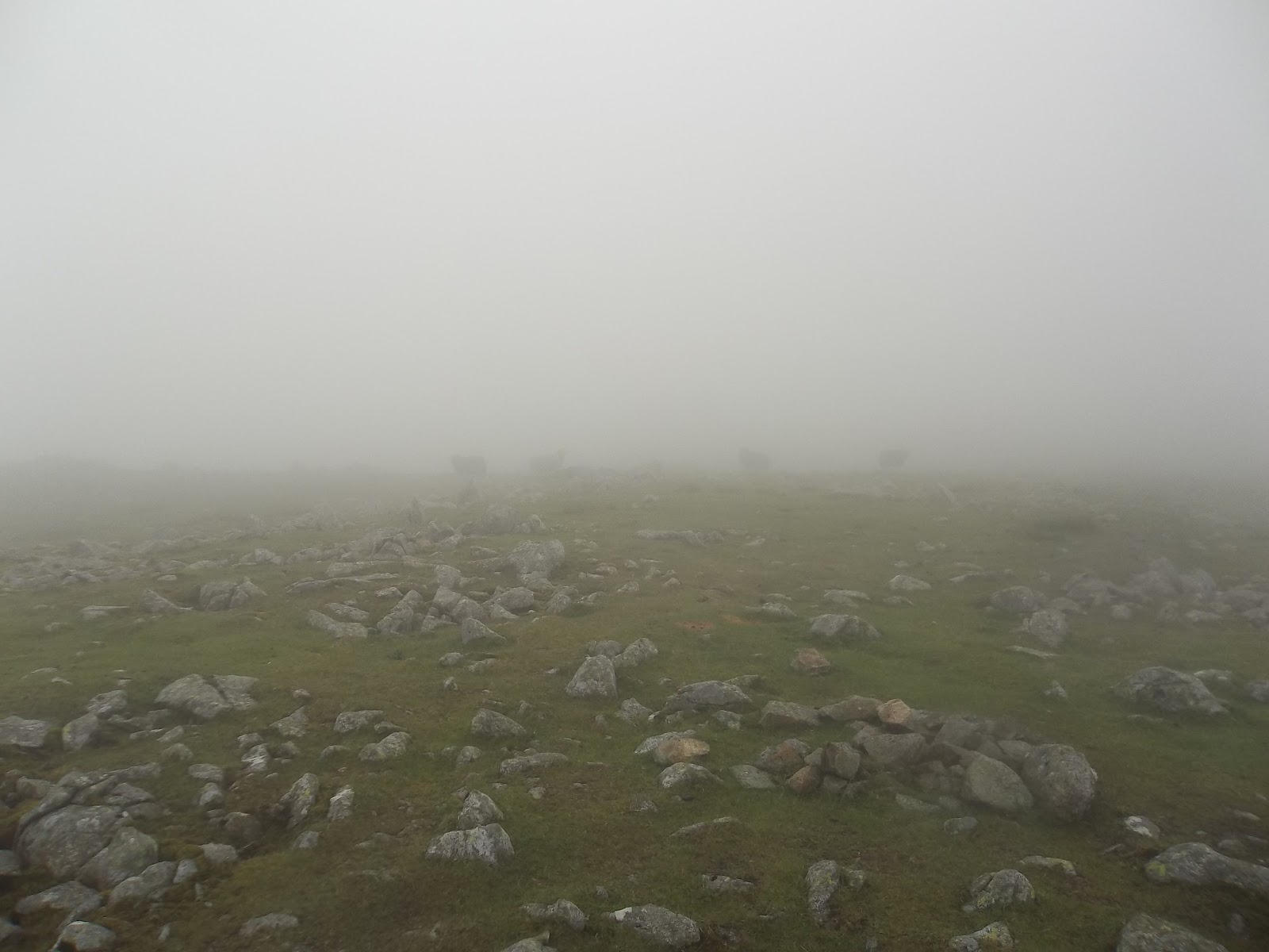
The cloud was still incredibly low.


bike course
 The bike course was about 27.5 miles and followed more or less the route of the Buttermere Tri.  This is a really nice route in itself, getting the hardest climb out of the way early on and having a nice freewheel most of the way to Rosthwaite before a gently undulating ride to Braithwaite.  Whinlatter Pass is not nearly so hard and then there is about another 7 miles from Lorton at the other end of the Whinlatter Pass back to Buttermere.


heading down towards Crummock Water from Lanthwaite area
 Back at the car and a little wait while a family with a sulky teenager argued about stupid stuff.  Once they went, I chcuked my bike in the back of my car, stripped off, got my running gear on, ate a lot of jelly beans and drunk the rest of my drink before setting off on a run around Crummock Water.  This was an almost normal transition in that I didn't go home, or shopping, or for coffee in between.


off around Crummock

I was really tired at this point.  It was only the realisation of how disappointed I would be in myself if I didn't do the last leg that made me do the last leg.


The track around Crummock Water is a familiar route.  Some work has been done to make the track a bit better, particularly through Lanthwaite Woods but the boggy rocky bits below Melbreak are still there.
looking over towards Hause Point on the right from the start of the run


Hause Point on Rannerdale Knotts over the lake, Low Ling Crag sticking out into the lake on the right
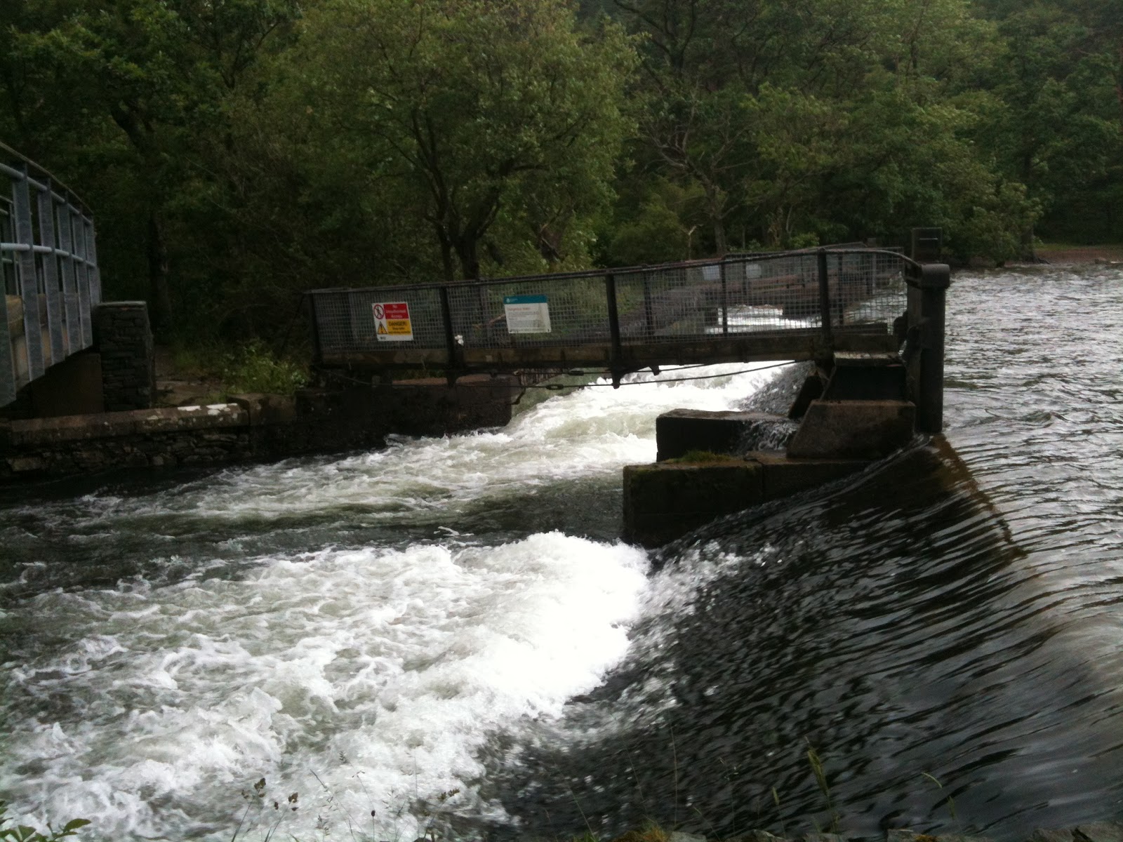


near the pump house
 I was finding it really tough going now, my legs were tired and the footing wasn't great.  I told myself that I could run the last section on the road which would be easier on the legs.


Getting to this point near the pump house meant that the paths were better.  There has been some work done to the paths in Lanthwaite Woods making them much more pleasant to walk/run on (and I was walk/running by this point).

  
beautiful Lanthwaite Woods


this beached area was pretty but didn't
make for good running


I knew that a full circuit of the lake was about 8 miles and I was on about 6 at this point.


Time to switch my iphone from podcasts to music for additional inspiration.


new running partners
 These guys ran with me for a good few hundred metres.  Then it was a mile or so back down the road.


run route
The run route, a loop of Crummock Water.  You might be able to see the little loop I did right at the start - Yes, I am able to get lost on a circular route around a lakeshore!


This route was 7 miles exactly.  I think the official Buttermere Triathlon route goes up the valley towards Rannerdale (where all the bluebells grow) rather than along the road, it also cuts across Hause Point rather than sticking to the road.


 I was tired but felt a great sense of achievement.  Back at the car and another quick change before more jelly beans, drink and off home for a curry, a beer, a bath and a check through the photos, gps tracks and sort out a heap of laundry.


My conclusion is that the Buttermere Triathlon will be a great event.  I really want to work up to this kind of event and a first step will be getting into some openwater swimming as well as the other triathlon skills such as getting through a transition a bit quicker!  There are definitely easier triathlons to enter in the area and I will use these as building blocks before working up to an event like this.

Saturday, June 23, 2012

Sizergh Castle and a Treasure Hunt

A National Trust membership is a useful thing to have in the Lake District.  Until recently, I mainly used my membership to park for free in National Trust car parks, many of which are well placed for walks, runs, bike rides etc and will cost about £7 for the full day so your membership soon pays for itself.

It's not all about car parks though.  The National Trust owns land and properties (including a pub) all around the Lake District.  They seem to be having a bit of an image change, moving away from the Sunday supplement crowd and attracting more families and young people.  If you have a toddler, you can't beat going to a castle, even if you have to make up lots of stories about princesses!

Sizergh Castle is near Kendal, about an hour away from home.  We decided on a drive through to check out the castle and the scarecrow thing they had on.


Hannah still learning to smile for pictures


kids love to be in charge of the map

bird watching

bring on the scare crows
spot the humans
  
not quite sure!

Hannah's favourite

"that one looks like grandad!"

"Cheeeeez"

We had a tour around the castle and Hannah enjoyed a kids game, looking in each room for items of furniture or ornaments and ticking them off (no pictures allowed in the castle though).  After having lunch in the cafe, a quick check of Geocaching.com on my iphone informed us that there was treasure nearby.  Let's go!
  
"follow me!"

I got a flower for Father's Day

The Geocaching.com App is easy to use

almost there

Tree roots are popular hiding places

Got It! This one was in need of a good clean out, rain had got into the boxes.
Hannah didn't really care, it was the following of the map
and finding the treasure that she enjoyed.

Saturday, June 9, 2012

Bob Graham support practice run


I've signed up to support someone attempting a Bob Graham Round.  I've been assigned to the third section which goes from Dunmail Raise to Wasdale.  If all goes to plan on the first two sections, we will be setting off between 2.00am to 2.30am on Saturday.  The route is about 15 miles long.

the third section of the Bob Graham Round shown in blue.  The Ws are Wainwright Fells.  Reds are bagged, Black are still to get.

I've been trying to plan a route to allow me to have a practice run.  It's a bit difficult due to the end to end nature of the leg.  Wasdale is a long way in a car from Dunmail Raise and would involve some complicated two car drop off arrangements.  I eventually planned a route from Grasmere which would allow me to run the first half of the section and loop back around to Grasmere.

first part of the run from the car park behind the garden centre, through the village, up
Easdale Road and then turning off before Lancrigg (nice veggie hotel and restaurant).

For the first bit, I needed to head up to Steel Fell.  On the Bob Graham Round, this is ascended via a steep climb from the road.

Steel Fell in the distance from the road.  Good cycling roads these.  I'll have to remember that.
 
The Lion and the Lamb on Helm Cragg

panoramic of the ridge from Helm Cragg (left) with Grasmere Lake behind.

looking down to the road at Dunmail Raise with the slopes of Seat Sandal across the road.  You can just make out the path of descent down Seat Sandal in the centre of the picture to the right of Raise Beck.
 
the steep climb up to Steel Fell where the red track I took joins the blue Bob Graham route

Dead Pike, the summit of Steel Fell.  Thirlmere Reservoir behind

wonder if I will beat the clouds today?

Thirlmere with Helvellyn range to the right (in cloud)

summit cairn of Steel Fell.  That fence will be a handy navigation aid

steep climb up to Steel Fell

looking down to Greenburn Bottom with Helm Crag in the centre at the end of the ridge

back towards Steel Fell on the right

cloud rolling over Green Comb and Cat Gills

these fence posts mark the route for a while

next valley, I would say that's Tarn Crags on the right but it's a guess

uh oh, cloud

The run from Steel Fell to the start of the climb to High Raise was grassy, boggy, rough underfoot.  It was undulating but not too much and I was able to run a good bit of it.

heading up towards High Raise and the cloud coming in now.  Weather forecast said cloud at 500m.  High Raise is 762m so can't complain really


better make this view more beautiful...

there it is

High Raise summit and raining so no hanging around here

think it's that way


The climb up to High Raise was grassy and wet.  No chance of running this section just a slog to the top.

I took a slightly longer line than necessary to Sergeant Man before getting back on track to Thunacar Knott and on to Harrison Stickle.  I thought it would be rude not to visit Loft Crag (although not on the Bob Graham route) then over to Pike of Stickle.  After a pleasant run across Martcrag Moor, which has a nice new path, I decided to join the Cumbria Way and head down to Great Langdale.

3d map of the run from High Raise down to Great Langdale

over to Sergeant Man


Sergeant Man, devoid of views today

Thunacar Knott is over there somewhere

grrr Cloud! Top of Thunacar Knott 
 
quick check in with facebook

Harrison Stickle

panoramic of the Langdale Pikes, just below the cloud

Pike of Stickle

climbing to Loft Crag

from Loft Crag summit looking over towards Pike of Stickle

looking down one of the big gulleys on Pike of Stickle before a short scramble to the top

Pike of Stickle summit

After a little rough section heading towards Martcrag Moor, I was glad to get on this nice new path
 
I turned off and joined the Cumbria Way, heading down towards Great Langdale along the path below that goes alongside the river.  Nice gentle run down the winding path to the valley floor

the flattest bit of the run but actually the path along Mickleden Beck is rocky and horrible to run on.  I twisted my ankle a bit here.

looking up the road towards Wrynose Pass.  Yet to be conquered on the bike

tarmac - ahhh! Looking back up towards the Langdale Pikes.
 
really tired here, climbing up towards Silver How and looking back down Langdale Valley

I think this is Brathay Slate Quarry

what do Ewe want?

Sheep, Grasmere and Rydal beyond


made it to Silver How, it's all down hill from here (that's good)
the last bit down hill to Allan Bank and back through the village to the car park
full route and elevation - 29k or 19miles

3d overview

After changing out of my sweaty clothes, I had some chips (and two cans of coke) from the garden centre before heading home.  Very happy, a little bit achy.