I've signed up to support someone attempting a
Bob Graham Round. I've been assigned to the
third section which goes from Dunmail Raise to Wasdale. If all goes to plan on the first two sections, we will be setting off between 2.00am to 2.30am on Saturday. The route is about 15 miles long.
 |
| the third section of the Bob Graham Round shown in blue. The Ws are Wainwright Fells. Reds are bagged, Black are still to get. |
I've been trying to plan a route to allow me to have a practice run. It's a bit difficult due to the end to end nature of the leg. Wasdale is a long way in a car from Dunmail Raise and would involve some complicated two car drop off arrangements. I eventually planned a route from Grasmere which would allow me to run the first half of the section and loop back around to Grasmere.
 |
first part of the run from the car park behind the garden centre, through the village, up
Easdale Road and then turning off before Lancrigg (nice veggie hotel and restaurant). |
For the first bit, I needed to head up to Steel Fell. On the Bob Graham Round, this is ascended via a steep climb from the road.
 |
| Steel Fell in the distance from the road. Good cycling roads these. I'll have to remember that. |
 |
| The Lion and the Lamb on Helm Cragg |
 |
| panoramic of the ridge from Helm Cragg (left) with Grasmere Lake behind. |
 |
| looking down to the road at Dunmail Raise with the slopes of Seat Sandal across the road. You can just make out the path of descent down Seat Sandal in the centre of the picture to the right of Raise Beck. |
 |
| the steep climb up to Steel Fell where the red track I took joins the blue Bob Graham route |
 |
| Dead Pike, the summit of Steel Fell. Thirlmere Reservoir behind |
 |
| wonder if I will beat the clouds today? |
 |
| Thirlmere with Helvellyn range to the right (in cloud) |
 |
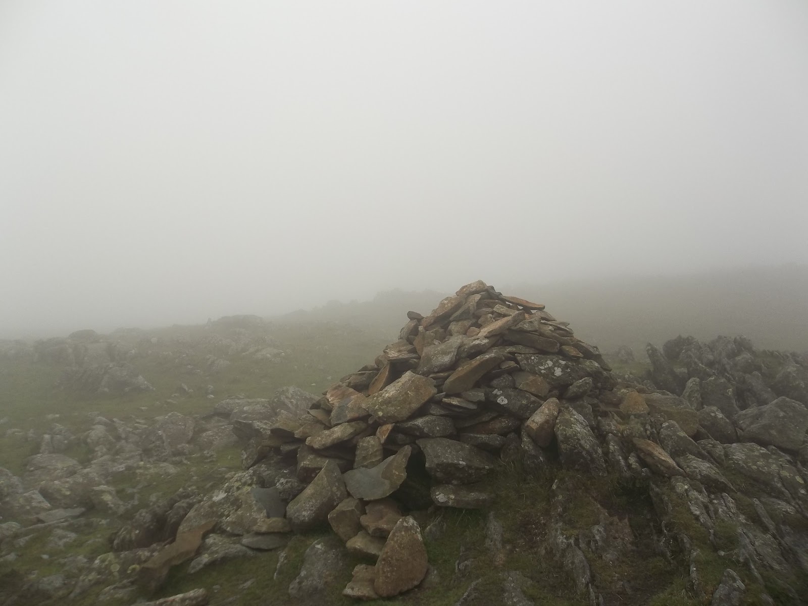
| summit cairn of Steel Fell. That fence will be a handy navigation aid |
 |
| steep climb up to Steel Fell |
 |
| looking down to Greenburn Bottom with Helm Crag in the centre at the end of the ridge |
 |
| back towards Steel Fell on the right |
 |
| cloud rolling over Green Comb and Cat Gills |
 |
| these fence posts mark the route for a while |
 |
| next valley, I would say that's Tarn Crags on the right but it's a guess |
 |
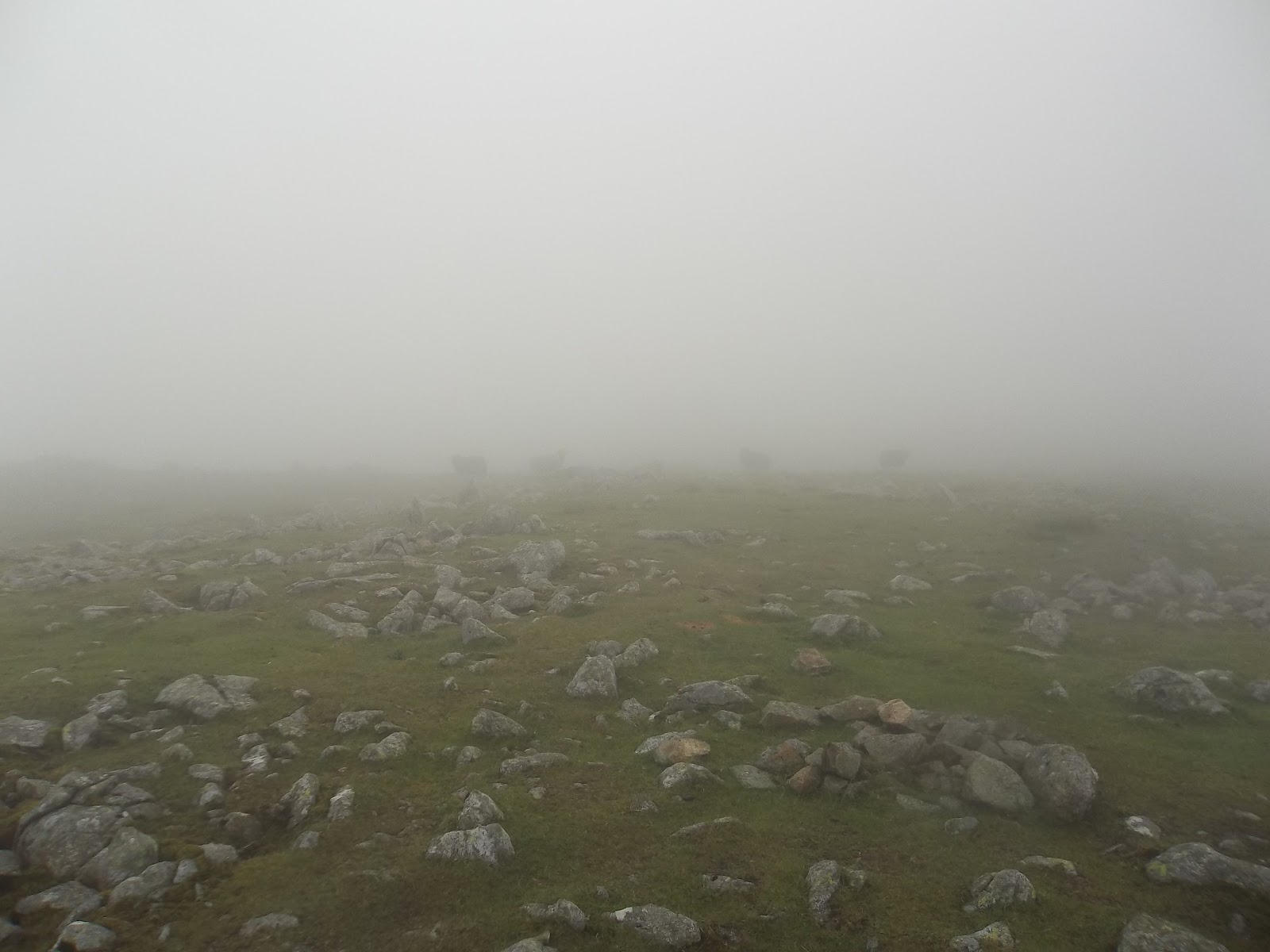
| uh oh, cloud |
The run from Steel Fell to the start of the climb to High Raise was grassy, boggy, rough underfoot. It was undulating but not too much and I was able to run a good bit of it.
 |
| heading up towards High Raise and the cloud coming in now. Weather forecast said cloud at 500m. High Raise is 762m so can't complain really |
 |
| better make this view more beautiful... |
 |
| there it is |
 |
| High Raise summit and raining so no hanging around here |
 |
| think it's that way |
The climb up to High Raise was grassy and wet. No chance of running this section just a slog to the top.
 |
I took a slightly longer line than necessary to Sergeant Man before getting back on track to Thunacar Knott and on to Harrison Stickle. I thought it would be rude not to visit Loft Crag (although not on the Bob Graham route) then over to Pike of Stickle. After a pleasant run across Martcrag Moor, which has a nice new path, I decided to join the Cumbria Way and head down to Great Langdale.
|
 |
| 3d map of the run from High Raise down to Great Langdale |
 |
| over to Sergeant Man |
 |
| Sergeant Man, devoid of views today |
 |
| Thunacar Knott is over there somewhere |
 |
| grrr Cloud! Top of Thunacar Knott |
 |
| quick check in with facebook |
 |
| Harrison Stickle |
 |
| panoramic of the Langdale Pikes, just below the cloud |
 |
| Pike of Stickle |
 |
| climbing to Loft Crag |
 |
| from Loft Crag summit looking over towards Pike of Stickle |
 |
| looking down one of the big gulleys on Pike of Stickle before a short scramble to the top |
 |
| Pike of Stickle summit |
 |
| After a little rough section heading towards Martcrag Moor, I was glad to get on this nice new path |
 |
| I turned off and joined the Cumbria Way, heading down towards Great Langdale along the path below that goes alongside the river. Nice gentle run down the winding path to the valley floor |
 |
| the flattest bit of the run but actually the path along Mickleden Beck is rocky and horrible to run on. I twisted my ankle a bit here. |
 |
| looking up the road towards Wrynose Pass. Yet to be conquered on the bike |
 |
| tarmac - ahhh! Looking back up towards the Langdale Pikes. |
 |
| really tired here, climbing up towards Silver How and looking back down Langdale Valley |
 |
| I think this is Brathay Slate Quarry |
 |
| what do Ewe want? |
 |
| Sheep, Grasmere and Rydal beyond |
 |
made it to Silver How, it's all down hill from here (that's good)
|
 |
the last bit down hill to Allan Bank and back through the village to the car park
|
 |
| full route and elevation - 29k or 19miles |
 |
| 3d overview |
After changing out of my sweaty clothes, I had some chips (and two cans of coke) from the garden centre before heading home. Very happy, a little bit achy.


No comments:
Post a Comment