
I'll just have a little run alongside the river. Oh, I'm at the lake. Ok, I'll just run along to Angler's Crag and back. Ooo, that path heading up looks interesting...
I have had this route, or a version of it planned out for a while. It was one of the many red lines I had drawn on my memory map during a recent bout of man flu. The truth is though, today, I wasn't all that inspired when I set off. In fact, when I was driving to the car park, I saw Crag Fell on the other side of Ennerdale Water and kind of thought, I don't think I can be bothered.


Looking back down the interesting path back to the west end of Ennerdale Water. The car park is in those trees.

Looking up the path towards Angler's Crag, which is the difficult bit when you are doing a circuit of the lake. Bowness Knott and the cliffs and screes of Great Bourne visible across the lake.

Now looking over the top of Angler's Crag in the same direction. Someone's got the fire going - I bet they've got a wood burner, you would never run out of firewood in this location.

Crag Fell pinnacles. According to Wainwright, Crag Fell is often mistaken for Pillar by, "those who have not studied their maps sufficiently." Hmm, a bit of a stretch, what do you think?

Pillar - unmistakable.

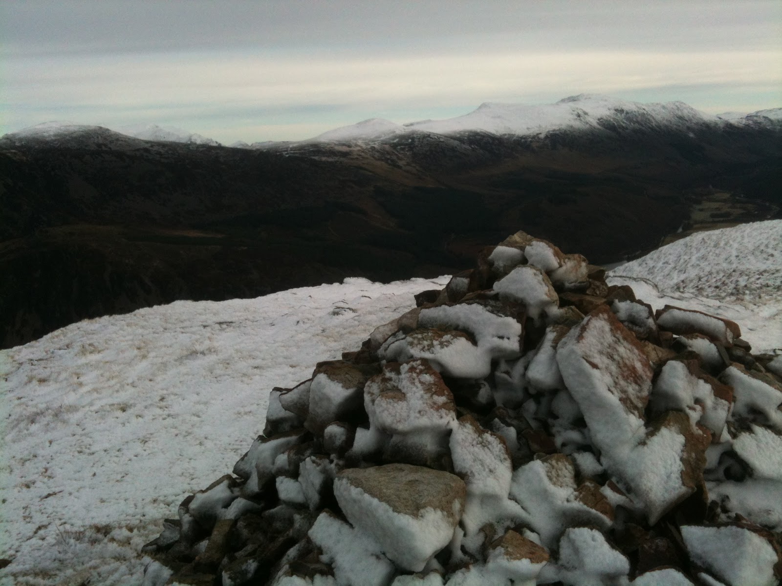
Plenty of snow looking eastward. I think that's Red Pike, High Stile and High Crag. I've been there before but not on record so will need to go back at some point.

Climbing up past the pinnacles.

The next challenge - Revellin Crag. I considered climbing the gap in the middle of this photo but opted for a slightly less dangerous one to the right.

Up on the grassy top now, looking back over towards Bowness Knott and Great Borne.

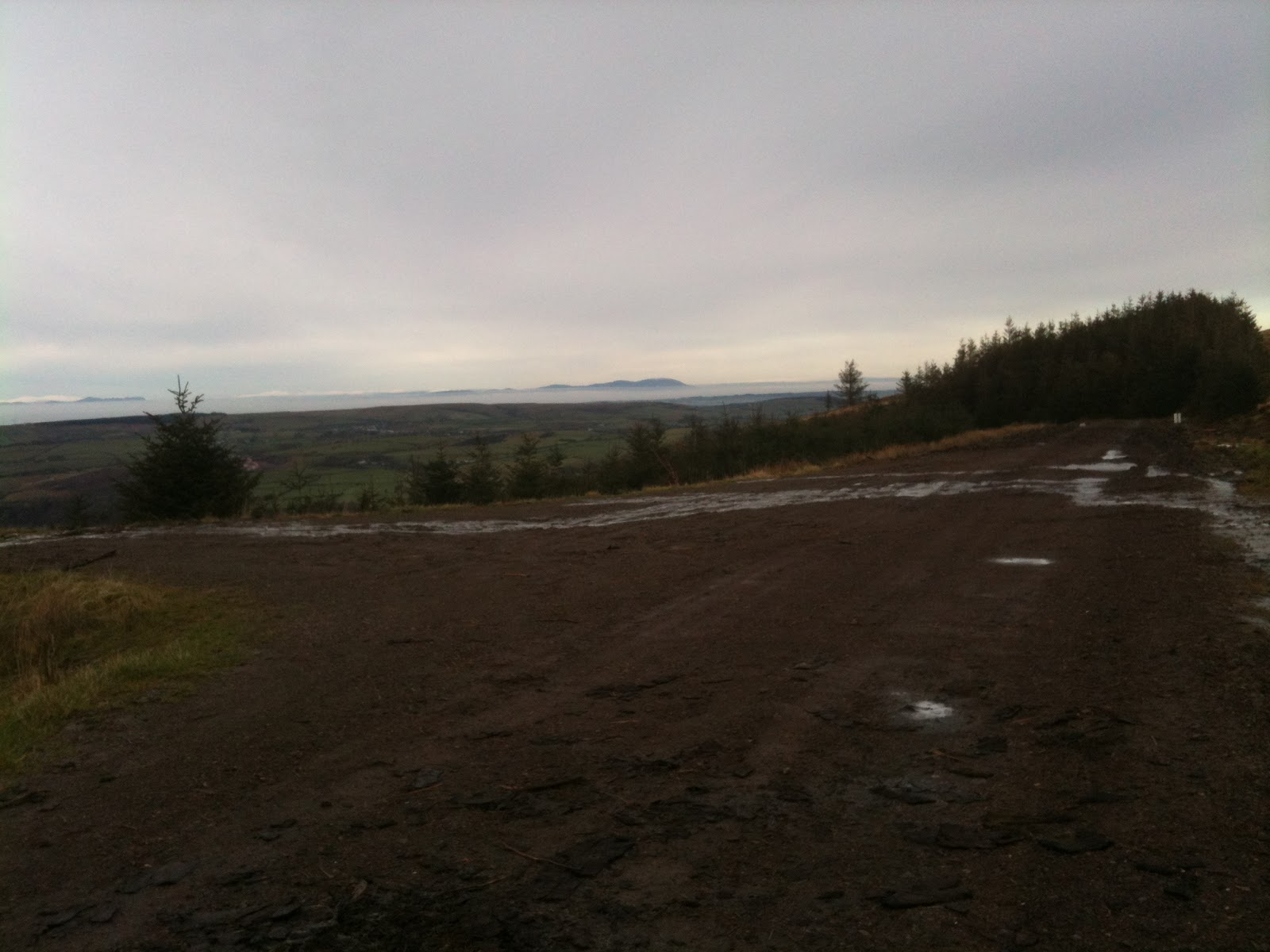
Scottish mountains visable over the mist of the Solway Firth

ok, time to start running again.

top of Crag Fell

from the top of Crag Fell. Pillar is middle right moving right towards Scoat Fell and Steeple. Looks like High Stile on the left moving right to High Crag (these are on the other side of the Ennerdale valley. The Path in front looks tempting but it's not the direction I am going in today.
bit of snow up here. It was just the perfect day. The ground was just the right level of frozen, plenty of give but some protection from the boggy bits. Clear air with no wind at all. I had once planned to head along here on this run but getting to the top of the ridge decided to run with the wind behind me and so went the opposite way.

view in the other direction towards the coast and Scotland beyond.

summit of Crag Fell

frosty conditions made running on this, usually boggy, terrain a pleasure

looking back, Pillar still visable. Heading up to Grike now.

Top of Grike - looking towards Great Borne to the right of Crag Fell

some company on the top

quick run down the grassy slope of Grike to Heckbarley Woods. This photo is looking back with Grike on the left hand side.
I don't mind a few miles of forest track at the end of a run, especially if it's all downhill.

rescue helicopter scanning the land around Blakely Raise - let's hope it was a practice exercise.

at the edge of the forest, another mile or so on quiet roads and roadside tracks

just been up there.

3d photo map of the route. Great route this, highly recommended.

map with elevation. Get your climbing done early! 7 miles in total and a respectable time thanks to all that downhill running on forest tracks and roads.
No comments:
Post a Comment