Sunday, April 22, 2012

easy bike ride

No pics today, just a record of the bike ride.  Started off from my house, through to Jonathan's, then about 17 miles with Jonathan and then a ride back home.  My sections are in red, where Jonathan was also there, it is navy blue.  My total ride was about 34 miles:


elevation data is in order of the ride.  Click on the picture for a larger version.

Saturday, April 21, 2012

High Street Fell Run


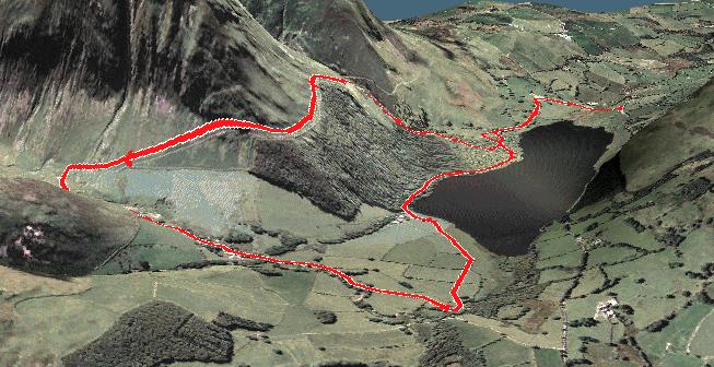
A return to Hartsop and a great fell loop taking in Hartsop Dodd, Caudale Moor, Thornthwaite Crag, High Street and The Knott.  9 miles in total.  The forecast was for heavy slow moving showers, sleet and thunder.  We didn't get thunder.

anti clockwise circuit

from the opposite end

From Hartsop village, a steep climb along the wall below - this is looking back towards Brock Crag

Grey Crag and the path we returned on

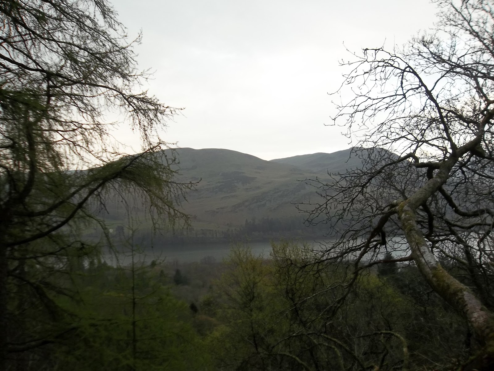
Brothers Water from the top of the wall on Hartsop Dodd.  Hartsop above How is the fell on the other side of Brothers Water.

still climbing

Angletarn Pikes visible from here.  We were going to go that way and circle around the front of but we ran out of time
 
Looks like the top of Hartsop Dodd but it is actually a wall that leads up to the top

Top of Hartsop Dodd with the offending wall behind
 
back towards Ullswater from the top of Hartsop Dodd

From Hartsop Dodd there was a great gentle downwards run towards Caudale Moor.

mineshaft on Caudale Moor.  There are old lead, copper and slate mines in the area.

clouds rolling in over Hartsop above How

Jonathan catching up on the run down from Hartsop Dodd summit

thorntwaite beacon - we're heading over there

top of Caudale Moor


here comes the sleet


time to start running again up to Thornthwaite Crag


there's that beacon
 
High Street

looking back up the track - Thornthwaite Beacon in the centre


 Just after I took these two pictures, we got our second hail storm of the day.  This one was much heavier and really stung my face.  We ran for the next half mile or so, going up and over High Street without stopping to take pictures.

but here is a picture looking back

bagged The Knott
 
High Street from The Knott (in hail)

steep way down to Hayeswater
 
head of Hayeswater
 

path back to Hartsop

Thursday, April 19, 2012

Trail Run Around Holme Wood (on my own)


Loweswater might be the nearest part of the lake district to where I live and I think, for this reason, I tend to neglect it, wanting to travel further afield.  Loweswater and the whole of the Buttermere valley are really really beautiful.  The fact that they are 20 minutes from home should really mean that I go there more often.

An after work trail run was planned.  I was all set in my running gear when I got the dreaded phone call from Jonathan, wimping out of a run.  I'm not going to make a big deal of it.  I decided that if I plan a run, I shouldn't be put off by other people being a complete and utter let-down (only joking Jonathan).


Car Park for today was at Waterend Farm a look over the hedge shows Burbank Fell and Carling Knott.  The plan is to run through and then climb up the waterfall in Holme Wood, following the track above the forest before winding back down to the lakeshore path.

first views along Loweswater, the path I am taking is on the right.

great surface to run on through Holme Wood

at the waterfall, I climbed up to the left of here

view back across Loweswater

at the edge of the forest, still climbing

finally over the forest wall, view back down over Loweswater

more great running tracks - big downhill from here

at the bottom of the downhill.  I ran down the path from the top of the trees in the middle of the picture


Holme Wood on the side of Carling Knott from High Nook Farm (No Parking)

looking back along the track

playground?

along Loweswater


the annexe

5 miles

wimp.