

The Grizedale Ultra Trail 26 is on in a few weeks. It's a marathon distance event run along the lines of the Lakeland 50/100. Some navigation is required but I have been assured that the route card/road book is idiot proof.
With a pretty rotten weather forecast for Saturday, I decided to avoid the high fells and head for a recce around part of the Grizedale route. Thankfully, a map, GPX route and route card are available from the website. Here is the route of the full event:

The course is made up of two loops. It starts with the Western loop before crossing over at the Visitor's Centre for the second loop on the East. I have been mountain biking around the forest on the Western loop, in fact, it looks very like the green mountain bike route, so I opted for a run around the Eastern loop as I am less familiar with this area.
Here is the route I took. I met Jonathan at about the halfway point (at Red Nab) and he ran the second half with me.


It was hailing and snowing as I sat in my car in the car park. I looked out of the window at the ticket machine and thought to myself, I am going to get wet and cold and I'm about to pay for the privilege.
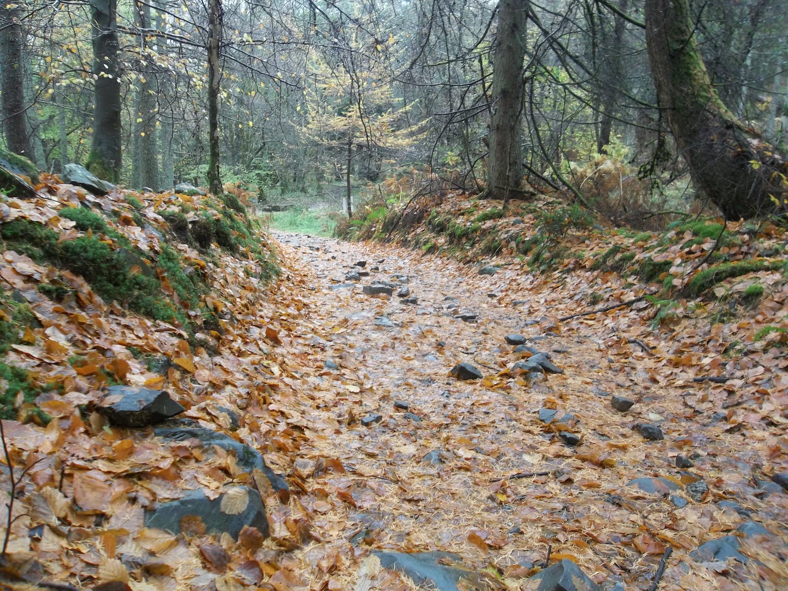
Geared up with waterproofs, fluids, food, map, route card and all the other essentials, I headed off. After an initially rough, stony and wet climb up, the track soon turned into pleasant wide forest roads.
The forest roads undulated for the next few kilometres before heading off into the woods on some muddy singletrack.
At the end of the singletrack was the first point where I had to think in terms of navigation and the route card. It was clear enough when I thought about it but the route goes downhill quite steeply at this point so my brain was thinking the worst, that I would find myself climbing back up.
 |
| singletrack? |
The rough track continues down and eventually comes out at a road. The next bit goes along the road and around the South side of Esthwaite Water to Hilltop and Near Sawrey where, at the end of some farm buildings, the route climbs up to Moss Eccles Tarn.
This is a popular route with mountain bikers and I met a large group travelling in the same direction as me. I played with keeping up with them for a bit but soon decided that it wasn't a clever tactic and, at Moss Eccles Tarn, I stopped to take some pictures and let them get ahead.

Moss Eccles Tarn is a very pretty place, especially at this time of the year with the autumn colours. The tarn was bought by Beatrix Potter in 1913. She kept a boat here and enjoyed spending time here with her husband. I know that because that is what it says on the sign.


I gave my cycling buddies a head start and continued on the muddy and wet track past Wise Een Tarn and up the hill back into the woods.
The route goes along the main track for a bit before cutting off to the left and steeply downhill, across the main track and on to more down hill to Belle Grange.
The path down to Belle Grange is steep and slippery. It looks like an old pitched path with narrow stones rather than the newer stepped paths. The leaves on top of this path made it quite dangerous (it does tell you to take care in the route description).
 |
| there is a nice path under all that water |
 |
| the path down to Belle Grange was very pretty but also slippery and steep |
 |
| Lake Windermere |

The route goes South along the shore of Lake Windermere for a few kilometres but I headed north to meet up with Jonathan.
I had arranged to meet Jonathan at 11.30am at the Red Nab car park. I had a bit of a wait. I'm not going to say too much about the wait. It was good practice for when things go wrong.
I hung around for half an hour, taking pictures of passing boats and pacing about trying to keep warm.
Then I took some more pictures.
Then I hung around for a bit more.

Finally...

The next two kilometres were flat, along the shore of Lake Windermere before heading steeply up through the woods.
I did a back up check with my GPS and was pleased to see that I was spot on with my grid reference.
After the climb up, the path opened up a bit over some fields and down to Far Sawrey.
 |
| nice open track down to Far Sawrey |
 |
| St. Peter's Church in Far Sawrey |
From Far Sawrey, the route goes across fields and through woods. It then goes along some road before going back into some woods. Up until now, where the path has been waterlogged, we had been able to find a way around, hop across stones or take an alternative route. Admittedly, this had involved a fair bit of mud trudging but here was the first point where there was no option but to get wet. Jonathan went first through the stream. He then came back across to take a picture of me going across? I never asked him to do this!


Just after the stream crossing, the path leads up to a road, a bit further down the road, the route goes along a narrow section before opening out again onto the forest roads.

Another few kilometres on forest roads before the route dips down and back to the original climb up from the Visitor's Centre.
The total distance was about 17 miles. Terrain wise, working from memory and by looking at the map, it looks as though this loop is a bit more difficult than the first.
It took me just over four hours. If you factor taking off about 45 minutes when I was waiting for Jonathan and another 15 for the additional distance up to the car park and back, take off a bit more for the numerous photo stops, map reading and navigation but then add it back on because this will be the last part of the run and I will be exhausted. I'm expecting the full marathon route to take about 7 hours. That means that I might be finishing in the dark.
Refuelling at the cafe consisted of chips, coffee, pie and beer (and the balance is restored).
I enjoyed the route very much. It seems really well planned and has a lot of variety. Running in the forest is something I like to do but usually struggle to plan (and follow) a route. The route card in general was easy to follow. There were two potential places where I was less than 100% sure of the way to go. The first is:
5. Thru woods for 400m to clearing and road junction. Turn sharp L (E) at footpath marker (not R past bench)
On re-reading this, it is more obvious but when I was running I found it hard to work out if it means past the bench but you go left not right. What it means is that you don't go past the bench (which is right).
The second place was after the run along Windermere shore where it says:
There are two tracks here. The main one, the one we took is lower. To the right of this track, there is a gate and a track goes through this but the track soon ends (ok, we took this track first).
Despite being less than 100% sure, we managed on each occasion and some detailed map studying would have confirmed it on each occasion. I think the organisers said that there will be some signs up on the day itself. These are very minor issues and I wouldn't want anybody to be put off by me raising them. The route is very easy to follow.
I did pick up a bit of an injury on this run. I'm pretty sure it was from hanging around and getting cold before setting off running again. Jonathan feels very guilty for keeping me waiting so it would be unfair for me to rub it in by highlighting his lack of competency that may have ended my chances of completing this event (despite me sending him the co-ordinates for his Sat Nav). It feels like an ITB type injury so I'm hoping rest and stretching will help me out before the big event in a few weeks time.
So despite my injury niggle, I am really looking forward to this event. There are three in the series so I might see how this one goes before looking at the others. I think this is designed as a stepping stone for people looking to do the Lakeland 50 and Lakeland 100 and those are both events I would like to do in the future, I never was keen on my toenails.
Here is the website for the Montane Ultra Trail 26 series.
Hi, just been reading about your reccie of Grizedale marathon. Really enjoyed it. I have entered it this year. I used to live in Far Sawrey about 50 years ago, so know some of it pretty well.
ReplyDeleteThanks for sharing. Di
Thank you Di for your lovely comment. Good luck in the race.
ReplyDeleteThanks Paul. I was the only FV60 so obviously came first in my category! 6hrs 30 on my feet was a bit much, but thoroughly enjoyed myself. Happy running! Di
ReplyDelete