Sunday, January 1, 2012

Grisdale Pike fell run


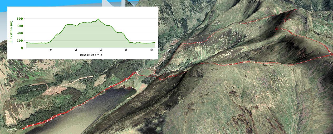
From November 2011, this was one of my first proper fell runs.  I had planned to do the classic horseshoe, crossing over at Coledale Hause and coming back down Barrow but if you look at the 3d map (click for larger image) you can probably see how I succumbed to the temptation of the long slow downhill of Swineside.


starting off in the woods, I didn't take the most efficient route to Sleet How

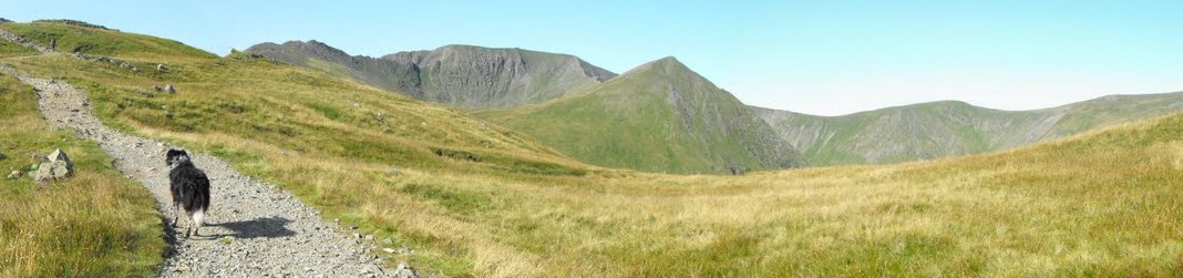
great views towards Blencathra


playing with the light settings on my iphone.  I'm hoping to get a proper camera for my birthday


looking down into the forest where I would get (slightly) lost towards the end of the run


Grisdale Pike
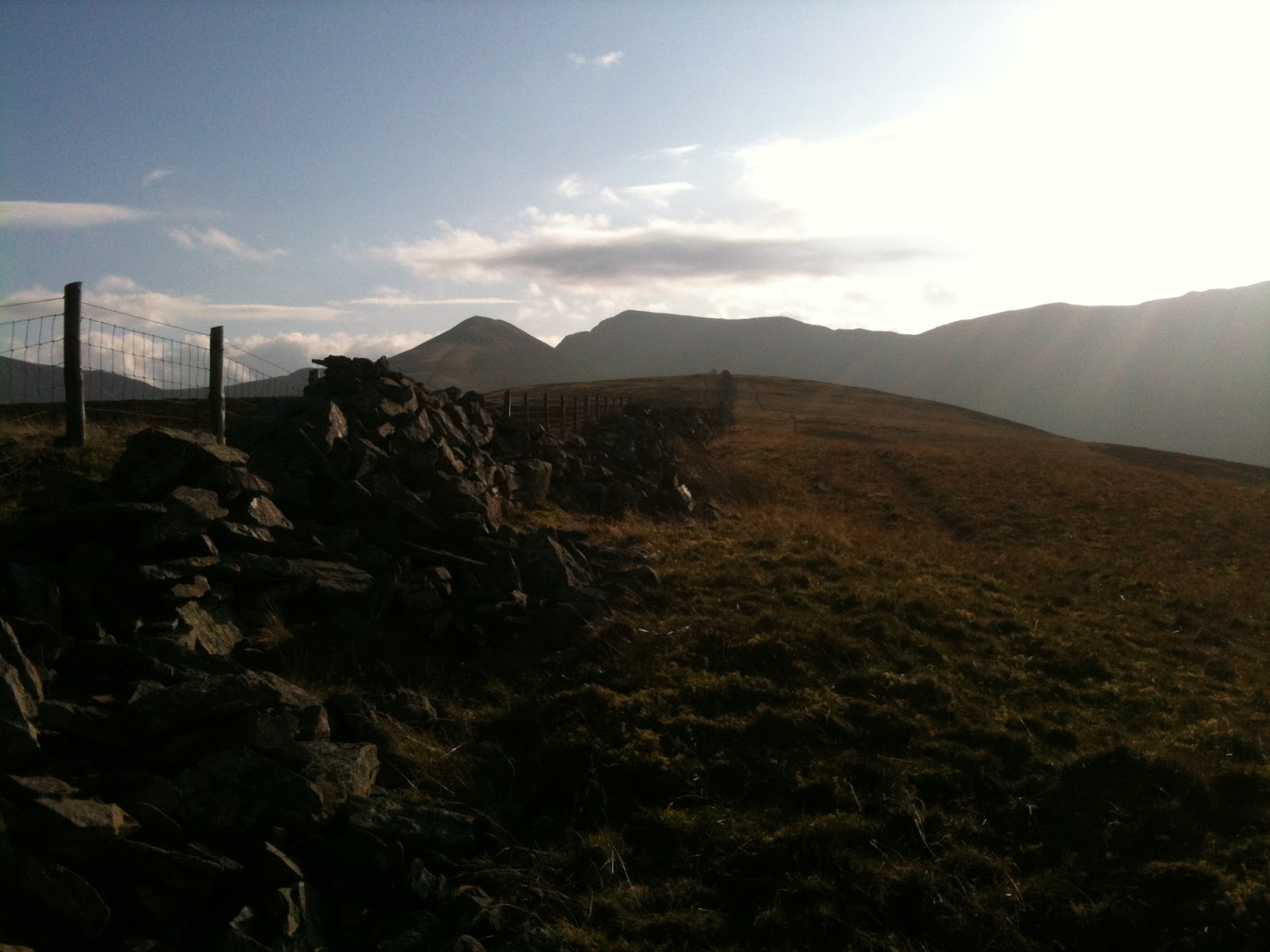


back in the forest, all these tracks look the same (uh-oh)

rehydration strategy - soya hot chocolate

Plans and Reviews (with maps)

I'm looking forward to reading blogs about people's new year plans as well as retrospectives of 2011.  Personally, I'm a bit more goal-driven and less motivated by resolutions, the subtle difference being that a goal is something you achieve: an event or action rather than something you either do more of, do less of or don't do at all.  A major goal for me is to complete the Wainwrights, the 214 Lake District Fells chronicled by Alfred Wainwright.  You can see my progress here.  I hope to document every walk and run on this blog to keep as a record of the achievement.

Very central to my goal of completing the Wainwrights are maps.  As well as my gps device, I always take a Harveys Lake District 1:40 map as well as a compass (and yes, I do know how to use it).  These are great maps as they cover a large area (there's always the danger of wandering off the side of a map with the Ordinance Survey) and are waterproof, an essential criteria for Lake District gear.

The best bit about maps though is the before and after, the planning out a route and then reviewing.  I can spend hours looking at a map, interpreting the contours and working out routes.  Like most other areas of life, technology has vastly increased the amount of fun you can have with a map.  I would heartily recommend Memory Map Software, which allows you to buy the specific areas that you need and then you can really play:

A red W is a bagged and blogged Wainwright, a black W is one still to do.  Purple lines are bike ride routes, red are walks or runs.  The green route you can see is the Birdathlon route.

Of course, you can get rid of all the distractions and just look at one route.  This is a brilliant walk I did of Grisdale Pike in the moonlight.

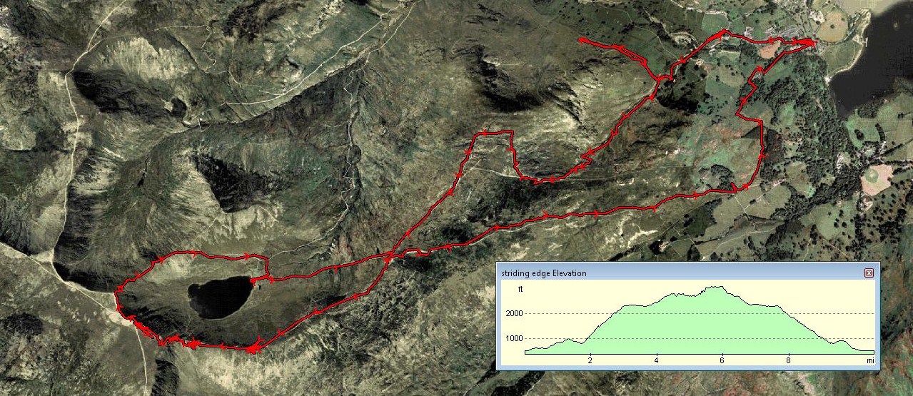
There's an option to look at routes on a satellite view, this is my Helvellyn walk from a few years ago.  You can see the point where I took a wrong turn and turned around as well as the point we went to Red Tarn so that Oscar could have a drink and a cool off.

The 3d option is really cool.  You can also do a fly through of the route.  This is great fun to do after doing a walk or run.  3d on satellite view gives added realism too.

I found the Wainwright overlays online and was able to download them and apply to my maps.  You can find loads of other things such as suggested walks, runs (the Bob Graham round is there to be downloaded), and bike routes (the coast to coast route is widely available), just google "gpx routes".

Right, time to do some planning.  Good luck with your own goals.

Saturday, December 31, 2011

Rannerdale Knotts

A very wet fell walk today.  I had planned to do a 8 mile walk taking in Rannerdale Knotts, Knott Rigg, Ard Craggs, Sail, Eel Crag, Wanpole and Whiteless Pike.  However, following a detour up Sail Beck looking for an appropriate place to cross and a recalculation in light of the heavy rain, we doubled back meaning that Rannerdale Knotts was the only Wainwright claimed today.  According to Wainwright, book 6, Rannerdale is the setting of a fierce battle in which the Norman invaders were ambushed and routed by the English in the years following the Norman Conquest.

climbing up Rannerdale Knotts, view back over Crummock Water

looking across to Melbreak

getting higher


looking South East over Buttermere, Fleetwith Pike is to the middle left

  
Newland's Pass on the side of Robinson


Friday, December 30, 2011

Grange Fell, Great Cragg, Ullscarf, Sergeant's Crag and Eagle Crag from Rosthwaite

Fell running today.  Finally the wild winds we have been having died down but there was snow and rain on this run.  Here's the route:


beautiful Borrowdale


Dock Tarn


cloud coming in


looking back from High saddle to Low Saddle

snow coming down now

loving it


just over the top of Heron Crag, looking back down Langstrath Beck


I think that's Bessyboot & Bull Crag on the left


dropping down now after negotiating the cliffs of Eagle Crag


I want to get on that path


Eagle Crag, complete with cliff face