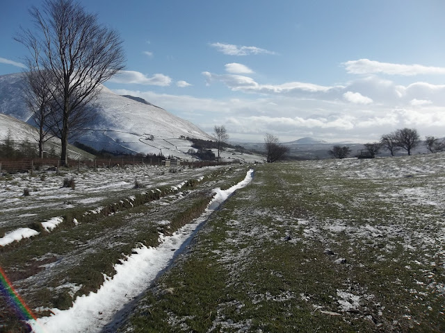
I had a few spare hours this morning. Snow had fallen over the lake district and the conditions for a trail run were pretty much perfect (perhaps less wind would have been nice). I've been checking out the Karrimor Great Trail Challenge which is a 10k, half marathon or marathon on a mixture of looped trails around Latrigg. Last night I plotted a rough version of the course on my Memory Map software and then set off this morning to see how I fared.

setting off from Otley Road car park in Keswick, a healthy dose of snow on Skiddaw

head towards the leisure centre then down the old railway line path for a few miles
turn here, admire the view of Blencathra, and then head up the road - you can go either direction but I went right. Steep climb up here, turning left at the top.
more Blencathra views on the way
View towards Thirlmere with Bleaberry Fell or High Seat peaking out the range on the right hand side, shoulder of Walla Crag just visible over the trees.
dinner?
Looking over towards Derwent Water, the steps of Cat Bells are easily distinguishable and fells of the Coledale Horseshoe shooting off in the other direction. That big mound on the right is Latrigg and that's where I'm heading.
Walla Crag more visible here on the right hand side. Great place for a run and home to one of my favourite views in the lake district
It's not just the distant views that are beautiful
crossing Whit Beck at Brundholme
Good shelter on this part of the path up towards Latrigg but watch out for the spikes
Lonscale Fell - the big loop of the Karrimor Trail Challenge goes half way up here and then across right to left. I had neither the time, nor the inclination for that today!
Blencathra
that 'orrible path up Skiddaw

At Ormathwaite Car Park - it was all down hill from here (means less pictures).
beautiful paths to run on
View over Derwent Water from Gale Ghyll Woods
panoramic from same spot. Cat Bells, Maiden Moor, High Spy and Dale Head running from centre left to far left. Triangular outline of Barrow clearly visible in the centre with Grisedale Pike on the right and the fells of the Grisedale Horseshoe running back down to the left of Barrow.
the path got really steep here running all the way back into town (so no more pics)
I do have some maps and stats though:
Just over 7 miles.


No comments:
Post a Comment