Saturday, June 9, 2012

Bob Graham support practice run


I've signed up to support someone attempting a Bob Graham Round.  I've been assigned to the third section which goes from Dunmail Raise to Wasdale.  If all goes to plan on the first two sections, we will be setting off between 2.00am to 2.30am on Saturday.  The route is about 15 miles long.

the third section of the Bob Graham Round shown in blue.  The Ws are Wainwright Fells.  Reds are bagged, Black are still to get.

I've been trying to plan a route to allow me to have a practice run.  It's a bit difficult due to the end to end nature of the leg.  Wasdale is a long way in a car from Dunmail Raise and would involve some complicated two car drop off arrangements.  I eventually planned a route from Grasmere which would allow me to run the first half of the section and loop back around to Grasmere.

first part of the run from the car park behind the garden centre, through the village, up
Easdale Road and then turning off before Lancrigg (nice veggie hotel and restaurant).

For the first bit, I needed to head up to Steel Fell.  On the Bob Graham Round, this is ascended via a steep climb from the road.

Steel Fell in the distance from the road.  Good cycling roads these.  I'll have to remember that.
 
The Lion and the Lamb on Helm Cragg

panoramic of the ridge from Helm Cragg (left) with Grasmere Lake behind.

looking down to the road at Dunmail Raise with the slopes of Seat Sandal across the road.  You can just make out the path of descent down Seat Sandal in the centre of the picture to the right of Raise Beck.
 
the steep climb up to Steel Fell where the red track I took joins the blue Bob Graham route

Dead Pike, the summit of Steel Fell.  Thirlmere Reservoir behind

wonder if I will beat the clouds today?

Thirlmere with Helvellyn range to the right (in cloud)

summit cairn of Steel Fell.  That fence will be a handy navigation aid

steep climb up to Steel Fell

looking down to Greenburn Bottom with Helm Crag in the centre at the end of the ridge

back towards Steel Fell on the right

cloud rolling over Green Comb and Cat Gills

these fence posts mark the route for a while

next valley, I would say that's Tarn Crags on the right but it's a guess

uh oh, cloud

The run from Steel Fell to the start of the climb to High Raise was grassy, boggy, rough underfoot.  It was undulating but not too much and I was able to run a good bit of it.

heading up towards High Raise and the cloud coming in now.  Weather forecast said cloud at 500m.  High Raise is 762m so can't complain really


better make this view more beautiful...

there it is

High Raise summit and raining so no hanging around here

think it's that way


The climb up to High Raise was grassy and wet.  No chance of running this section just a slog to the top.

I took a slightly longer line than necessary to Sergeant Man before getting back on track to Thunacar Knott and on to Harrison Stickle.  I thought it would be rude not to visit Loft Crag (although not on the Bob Graham route) then over to Pike of Stickle.  After a pleasant run across Martcrag Moor, which has a nice new path, I decided to join the Cumbria Way and head down to Great Langdale.

3d map of the run from High Raise down to Great Langdale

over to Sergeant Man


Sergeant Man, devoid of views today

Thunacar Knott is over there somewhere

grrr Cloud! Top of Thunacar Knott 
 
quick check in with facebook

Harrison Stickle

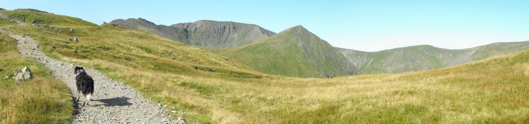
panoramic of the Langdale Pikes, just below the cloud

Pike of Stickle

climbing to Loft Crag

from Loft Crag summit looking over towards Pike of Stickle

looking down one of the big gulleys on Pike of Stickle before a short scramble to the top

Pike of Stickle summit

After a little rough section heading towards Martcrag Moor, I was glad to get on this nice new path
 
I turned off and joined the Cumbria Way, heading down towards Great Langdale along the path below that goes alongside the river.  Nice gentle run down the winding path to the valley floor

the flattest bit of the run but actually the path along Mickleden Beck is rocky and horrible to run on.  I twisted my ankle a bit here.

looking up the road towards Wrynose Pass.  Yet to be conquered on the bike

tarmac - ahhh! Looking back up towards the Langdale Pikes.
 
really tired here, climbing up towards Silver How and looking back down Langdale Valley

I think this is Brathay Slate Quarry

what do Ewe want?

Sheep, Grasmere and Rydal beyond


made it to Silver How, it's all down hill from here (that's good)
the last bit down hill to Allan Bank and back through the village to the car park
full route and elevation - 29k or 19miles

3d overview

After changing out of my sweaty clothes, I had some chips (and two cans of coke) from the garden centre before heading home.  Very happy, a little bit achy.

Wednesday, June 6, 2012

More Cycling Progress - Honister and Newlands

top of first (and hardest) bit of Honister Pass
I'm lucky enough to have some really amazing cycling routes close to where I live.  The Fred Whitton route probably comes within about 10 miles of my house.  

I've been wanting to do Honister Pass for a while.  I tried it when I first got my bike but didn't have a good strategy, putting a bit too much pride into pedalling past a group of kids who were out orienteering and wearing myself out before the end of the first part.  This time around, I had a few things in my favour: I was fresh from some recent victories up Whinlatter Pass and Newlands Pass (other way) and I had worked out the, almost karmic, strategy of spinning up a hill, monitoring my exertion levels, making sure to never fully burn out.

We parked at the Bowder Stone Car Park.  We got there for about 9.30 but the place was already busy with climbers who I imagine shared our level of interest in the jubilee festivities.  Still, nice to get an extra day off.  This was a great starting point as it meant we had a few miles to Honister Pass to warm our legs up but not too much so we got there pretty fresh.

Honister Pass is immediately steep.  I would say that the hardest part is right at the start and it climbs along the side of Hause Gill from Seatoller to the cattle grid at the top where the road levels out.

cattle grid marking top of first hard section

From the cattle grid (where we had a rest) the road undulates mildly until another climb to the Honister Slate Mine and Youth Hostel.  This is no where near as tough as the first part and is actually quite a pleasant spin up to the top.

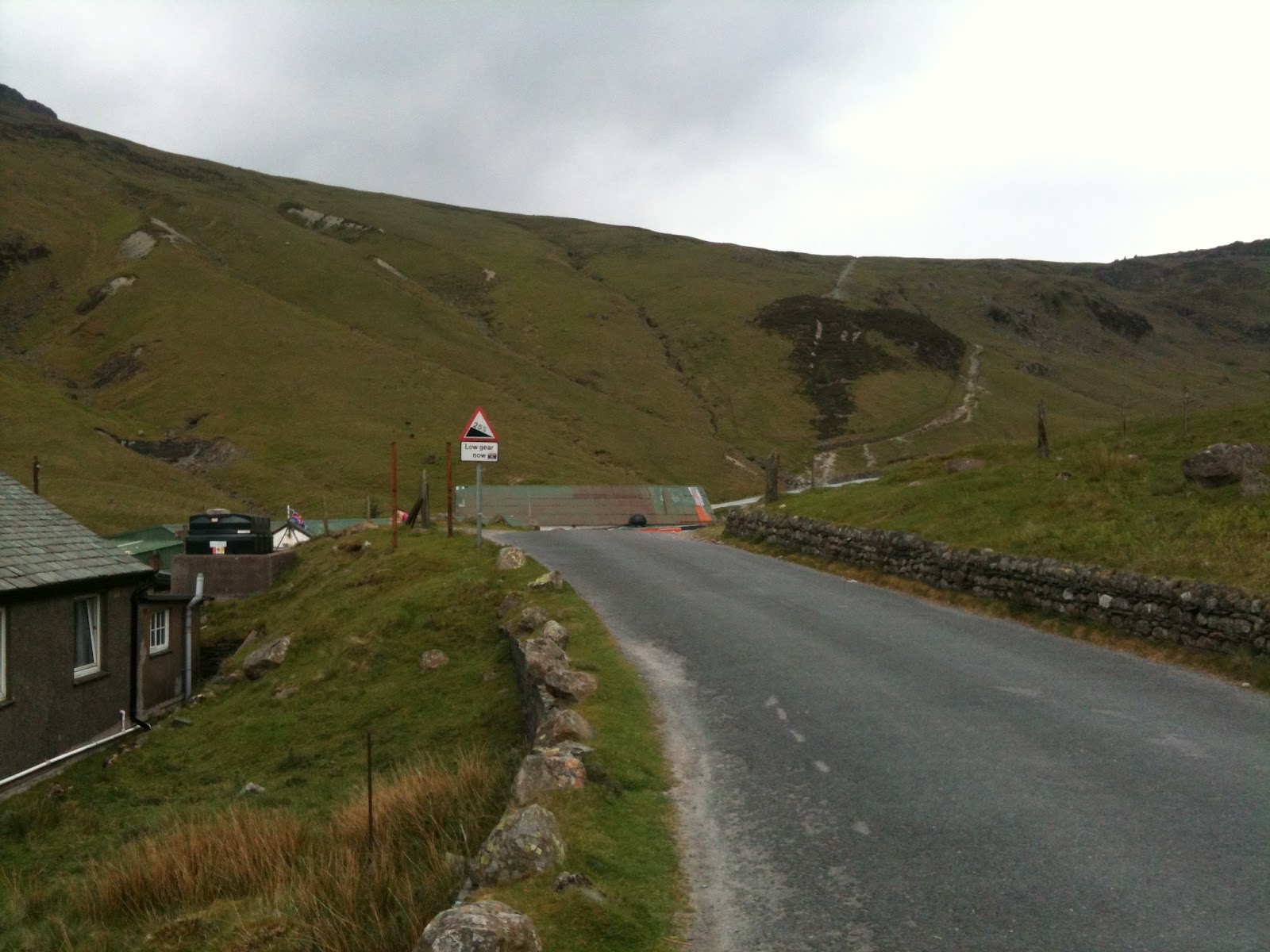
A sign by the Youth Hostel warns of the 25% slope coming up.  The hill down into the valley and on to Buttermere is fairly technical to begin with, there are a few corners, particularly over the bridges, where you need to be really careful and not get carried away.  You also need to be careful of cars coming the other way.  It's a beautiful part of the Lake District but there was no way I was stopping for pictures, well at least not until I got to Buttermere Lake.

Haystacks over Buttermere

Newlands Pass
We didn't have that long to admire the view before we had to make a vital decision.  Once you are in Buttermere on a bike, there's not an easy way out (unless you phone your wife, which is what I did the last time I tried to go over Honister Pass).  The main options were a longer but less hilly route over Whinlatter back to Keswick or a more direct but hilly route over Newlands Pass.

Well, we don't get a sense of achievement out of doing things because they are easy so Newlands it was.


Now Newlands Pass starts off immediately very hard.  Cycling up past the church where people park is probably the steepest part apart from right at the top.  This doesn't last long and then it gets a bit easier and then it levels out and even goes downhill for a short period.  You can see a big stretch of the road ahead and, to be honest, it doesn't look too bad.  Into spinning mode and chugging away, it gets a bit steeper right at the top but only for a very short while.  Before too long:

top of Newlands Pass

Going down from Honister Pass, the road is bendy and technical.  Newlands Pass is not like this, you can really cruise down.  My top speed at this point was 41.8mph.

the way down

From this point, we went through Newlands, around the base of Cat Bells and on through Grange before a short section back along the Borrowdale Road to the car park.  Altogether 18 miles but two major Lake District Passes conquered.  Stoked.

self portrait

route - 18 miles

this is distance in miles.  You can clearly see the peaks of Honister and Newlands Passes

...and this graph shows the time taken.  Any flat bits are where we had a rest.  It should be no surprise that this was at the top of the climbs then!


Back at the car park, bikes were thrown into the back of the car and we were off to the Lakeland Pedlar to refuel with a curry.

Saturday, June 2, 2012

Cloudy Clough Head and Great Dodd

I had grand plans for an epic run today along the ridge from Clough Head to Helvellyn, maybe even Catstye Cam, and back.  However, on reaching the summit of Clough Head deep in a full cloud cover, and experiencing the same on Great Dodd, I decided to change my route and come back another time when visibility is better.


Heading up the old coach road towards the old quarry.  I stopped to take a picture of a cow, mainly because I was overtaking some mountainbikers (I was walking here).
  
up through the old quarry
  
looking west from the climb up Clough Head, High Rigg is front left

Hiigh Rigg across St John's in the Vale
 
Clough Head summit (and cloud)

map in my hand (good) and sunglasses (errr....)
 
that way
 
I scared quiet a lot of sheep who didn't see me coming through the cloud


top of Great Dodd.  Decision made here not to do any more sight seeing and head down to a lower route
  
big old peat hag on the way down
 
I met somebody here who had got lost in the cloud.  I pointed him in the right direction and he headed off to go up Clough Head.  I would have felt better if he had a map with him though.
 
looks like Great Mell Fell on the right.  The old coach road is just visible going left to right across the middle

further along now, looking back towards White Pike
  
heading back towards St John's in the Vale
 
still cloudy on the tops


bottom half of Blencathra


the lower down views are much better

back at the quarry, great location for a bmx track

from the car looking up towards the clouds and fells

15k run (yes, I've converted to Ks - about 9.5 miles)