 |
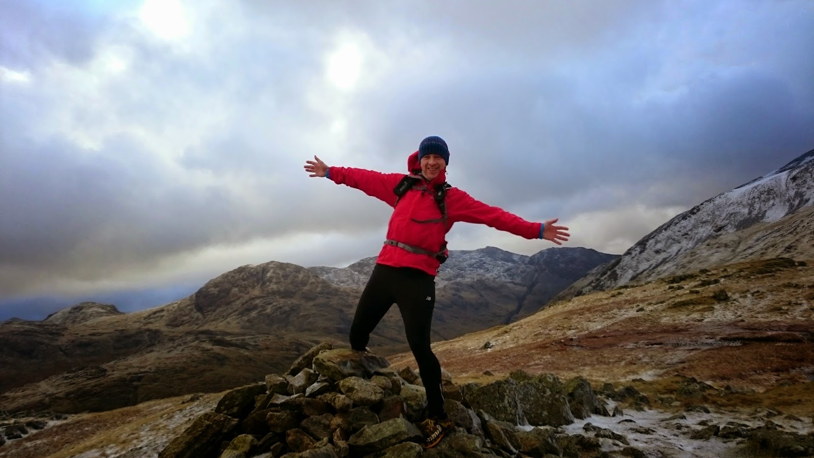
| Helvellyn summit |
This running every day in December thing has got my legs a bit sore but I was determined to get out today on some high, snow covered fells. The forecast was great and, as we drove towards Keswick, the skies were clear. As we turned past Bassenthwaite, and got our first views over to the Dodds, we were a bit surprised to see heavy cloud cover.
Having failed to amass seven pound coins to pay for parking at Whythburn or Swirls, we moved slightly north of the Swirls car park into a layby. I've nothing against paying for parking but it would be helpful if these machines took cards as many now do. We ran up to the Swirls car park and then took the path up over Browncove Crags to Helvellyn summit. A thin layer of snow started quite low down but it wasn't icy and we actually managed the whole day without the need for microspikes.
As we climbed, it looked as though we might get above the cloud and towards the last few hundred metres of ascending we did. This gave an additional reason to stop as well as the usual photo opportunities, we could use the excuse of naming distant fells.
 |
| clear skies now above Browncove Crags |
 |
| above the cloud |
The summit of Helvellyn was eerily quiet. We considered carrying on over to Dollywagon Pike but instead turned around to start heading over to the Dodds.
 |
| from Lower Man, heading up towards the summit - beautiful Catstye Cam across Swirral Edge. Plenty of cloud inversions to the east as well. Beautiful day. |
 |
| at the summit trig |
From Lower Man, there is a nice winding path down to the start of the climb up to Whiteside. I've got a new phone and it does some cool things with pictures. Unfortunately, it seems to decide at random what these things are. We took a series of pictures hoping the phone would make them into an animated GIF. It worked for Jonathan:
It didn't work for me though, it made the pictures into a panoramic. Here's a pic of me running down the same section though:
 |
| Raise summit |
We carried on over Whiteside and over to Raise, stopping on the way down to watch a lone snowboarder on the ski slope. The lift was working. I wouldn't say that the conditions were fantastic for skiing or snowboarding although it would have been fun traversing over the Dodds today. We saw a few different tracks of people that had done just that.
 |
| ski lift on Raise |
Just before Sticks Pass, we ran into Andrew Foster and Lesley Whittaker, people who I had never met but recognised from various antics on Facebook including being top contributors to my very own Summit Dorks group, the purpose of which is to record acts of daftness on top of mountains. We chatted for a while, took a few photos then went on our opposite ways. Lovely people.
 |
| Dorks |
We told Andrew and Lesley that we were heading down Sticks Pass but, even though it was only about 20 feet from where we left them, we had changed our minds by the time we got there and decided to continue on to Stybarrow Dodd, over to Great Dodd (missing out the detour to Watson's Dodd summit) and then enjoying a nice run down to Calfhow Pike where we decided to adventure down a dodgy looking path on a part of the map where the lines are close together and there are lots of craggy bits.
 |
The path down to Fornside Farm was not very pleasant. At least it wasn't icy but it wound very steeply through the crags. On reflection, we would have been better carrying on to Clough Head and taking one of the paths or the blunt slope down to the old coach road. Although it would have been a few miles extra, it would probably have been quicker. Oh well. Still some new ground found.
I couldn't see a legitimate way across to the road but there is a permissive path through Fornside. Once out on the road, Jonathan took a real dive, hurting his ankle quite badly. It turns out a pothole had jumped out and swung his legs from under him. He made quite a clunk as he slapped against the road. Yes, Helvellyn in the snow - no problem. Flat road with a little hole in it - floored!
We walked quite a bit of the rest of the route. Luckily, we only had about three miles left to go and we just ran bits that Jonathan could manage with his cankle. We took a nice bit of track around the south end of High Rigg (I'll be back here to explore) and then crossed the A591 to pick up the Great How path, continuing on along the side of Thirlmere, back up the road from Dalehead Hall Hotel and a hundred metres or so along the road back to the car. Day 28 of run every day in December was a good one.
 |
| from Great Dodd summit shelter looking back over ground covered |
 |
| bridge over St John's Beck with Blencathra behind. We had just descended the crags on the right |
 |
| last leg - along the forest track at the side of Thirlmere |


