After a family day yesterday, I really didn't know what I wanted to do today. I should really have done a long fell run but didn't really have a lot of energy. I had considered having a go at Wrynose and Hardknott passes on my bike. Eventually, I decided to head to Pooley Bridge for a walk.
Here is the route:

The walk started with a wander along the shore of Ullswater from Pooley Bridge. I set off quite late and the sun was already high. The water was really still which made for some beautiful reflection shots.
 |
| looking west from the north end of Ullswater |
I really hadn't considered the route I was going to take. I wanted to head up towards Arthur's Pike so I climbed up through Park Foot Caravan/Camp Site until a path lead off along the right hand (west) side of Aik Beck.
 |
| Looking back down Aik Beck. The path goes along the side of the wall in between the wall and the beck |
At the corner of the wall, the path splits. I headed south-west, not quite on the path of the Roman road, crossing Barton Fell to the multi-cairned summit of Arthur's Pike.
 |
| corner of the wall |
 |
| heading up to Barton Fell |
 |
| the climb to Barton Fell with a view over Ullswater |
 |
| Barton Fell summit |
From Barton Fell, the track continues to Arthur's Pike. There are three cairns on Arthur's Pike. The views over Ullswater were just getting better and better.
 |
| Arthur's Pike cairn and Beacon |
 |
| and the other cairn (I think this is the top) |
On to Bonscale Pike and the two towers.
 |
| According to Wainwright, the bottom tower is "The work of a craftsman" and the higher one is "The effort of amateurs" |
 |
| Bonscale Towers |
 |
| summit of Bonscale Pike (Hallin Fell behind) |
From Bonscale Pike, I did some planning and decided to head up to Load Pot Hill. The track crosses grassy land, going across the Roman road.
 |
| up to Load Pot Hill |
 |
| looking towards the Eastern Fells |
 |
| trig column on Load Pot Hill |
 |
looking back to the summit. Directly in front is a boundary stone with an L on it,
maybe it stood for Lowther after the Lowther Estate. |
There are lots of ancient stones, stone circles, cairns etc around here. A bit further south from the picture above are the remains of Lowther House, an old hunting lodge. When Wainwright wrote book two in the late fifties, there was a complete chimney there (what a great place it would have been for a wild camp!) now it is little more than a pile of stones.
 |
| remains of Lowther House |
 |
| Wether Hill |
Further along, across the muddy top, to the cairn of Wether Hill. I then took a path off the summit ridge west to head towards Steel Knotts.
 |
| The ridge of Steel Knotts. My route goes more or less along the wall |
 |
| heading to Steel Knotts |
 |
| Ullswater along Fusedale valley |
 |
| The Nab |
 |
| along to Steel Knotts |
 |
| looking back from Steel Knotts |
 |
| Steel Knotts summit |
 |
| cairn at the north of Steel Knotts |
From here, there was a steep descent to St Peter's Church and then straight back up to Hallin Fell.
 |
| Hallin Fell. St Peter's Church centre |
 |
| climbing up Hallin Fell, looking back |
 |
| summit of Hallin Fell |
Hallin Fell does occupy a pretty special place overlooking Ullswater. It seems like a popular thing to do was to park at the church and head straight up and down. There were plenty of people who were doing this.
I headed down from Hallin Fell, heading around the steep craggy parts. Soon enough I was in Howtown and looking at a long flat walk along the shore.
 |
| Howtown |
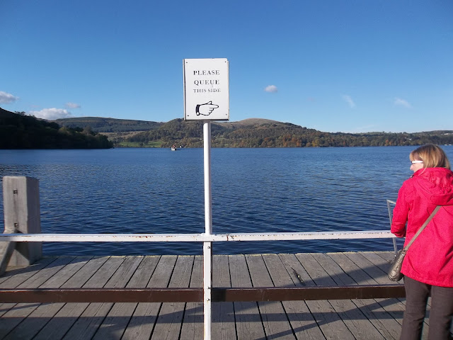
But then, as I was walking past the pick up point for the Ullswater Steamers, I had an idea...
 |
| I got to the pick up point, just as one of the steamers were coming. I decided it was meant to be! |
Relaxing now on the steamer, I finished my drink and enjoyed the scenery, looking back at the route I had just taken.
 |
| The Sharrow Bay Hotel, where Paul McCartney proposed to Heather Mills |


