|
| despite being on its side, presumably after the soil around it was eroded, this tree seems to be flourishing at the side of Derwent Water. The branches are pointing up and the roots are still attached. |
Last week I casually entered a competition to win a place in the
Cumbria Way Ultra, a 73 mile ultramarathon taking place in September. I won. Gulp! This turn of events put a slightly different spin on training for the
St Bega Ultra at the end of August. I consulted
Relentless Forward Progress, a great book on ultrarunning and have adapted a plan for a 100 mile race to hopefully suit the shorter 73 miles. I started from the race date and worked bacwards and was happy to see that I was already running a similar distance etc to what I should have been doing had I already been following the plan. But I did feel like I needed a long run.
I picked out the long course from the recent Keswick Mountain Festival. This is a marathon distance course which shares some of the route with te St Bega Ultra. Handily,
Mountain Run have shared the gps file on their website
here.
I adapted the course very slightly, starting and finishing in Keswick rather than the slightly staggered start of the event. I also went over the top of Rannerdale Knotts rather than around it. I ran the course from memory, it's all pretty familiar ground to me, although the trail above Sail Beck was new to me.
 |
| Borrowdale |
I set off at what I thought was an easy pace but was actually a bit fast. It's difficult to go slow at the start, when you have lots of energy, and you are passing walkers. It's something I am really going to have to practice. I had my heart rate monitor on but found it really difficult to hold back.
I was also wanting to practice nutrition. I had worked out various potential hydration stops (Rosthwaite, Honister Slate Mine, Buttermere). When it came down to it though, I didn't stop at any of them. Although, I almost went for a pint in the Swinside Inn which was about two miles from the end.
I took about a litre of fluid and it lasted me the whole way but I think I should have drank more and was consciously rationing it for the last 8 or so miles. I also cut it quite fine with food. I took Nakd bars which worked well on the Scafell Trail Marathon and some dates in case I wanted a bit of a sugar kick. I seemed to be able to take the bars on well (I could have done with more fluid to wash them down with) but didn't experience any stomach issues. I feel that they are a good energy source, lots of nuts, seeds etc. The dates also seemed to work when I needed a bit of a boost on the top of Rannerdale Knotts, although this may be psychological as much as anything. These are all good lessons to be learnt and I enjoy the process of a challenge as much as the execution.
As I said, the first part of the run shares common ground with the St Bega Ultra, the Scafell Trail Marathon also goes the same way initially. At Rosthwaite, there is a slight deviation. The KMF course looks like it goes over private land so I took the route through from Rosthwaite village to the youth hostel and along the bank of the river Derwent. This is the pretty part where there are chains in the rocks to hold on to if you are unsure of your footing. I got stuck behind a big group of walkers who were moving very tentatively along the bank. As the path widened, I was able to take over them and head along the trail until I got to the switch back and start of the climb up towards Honister.
 |
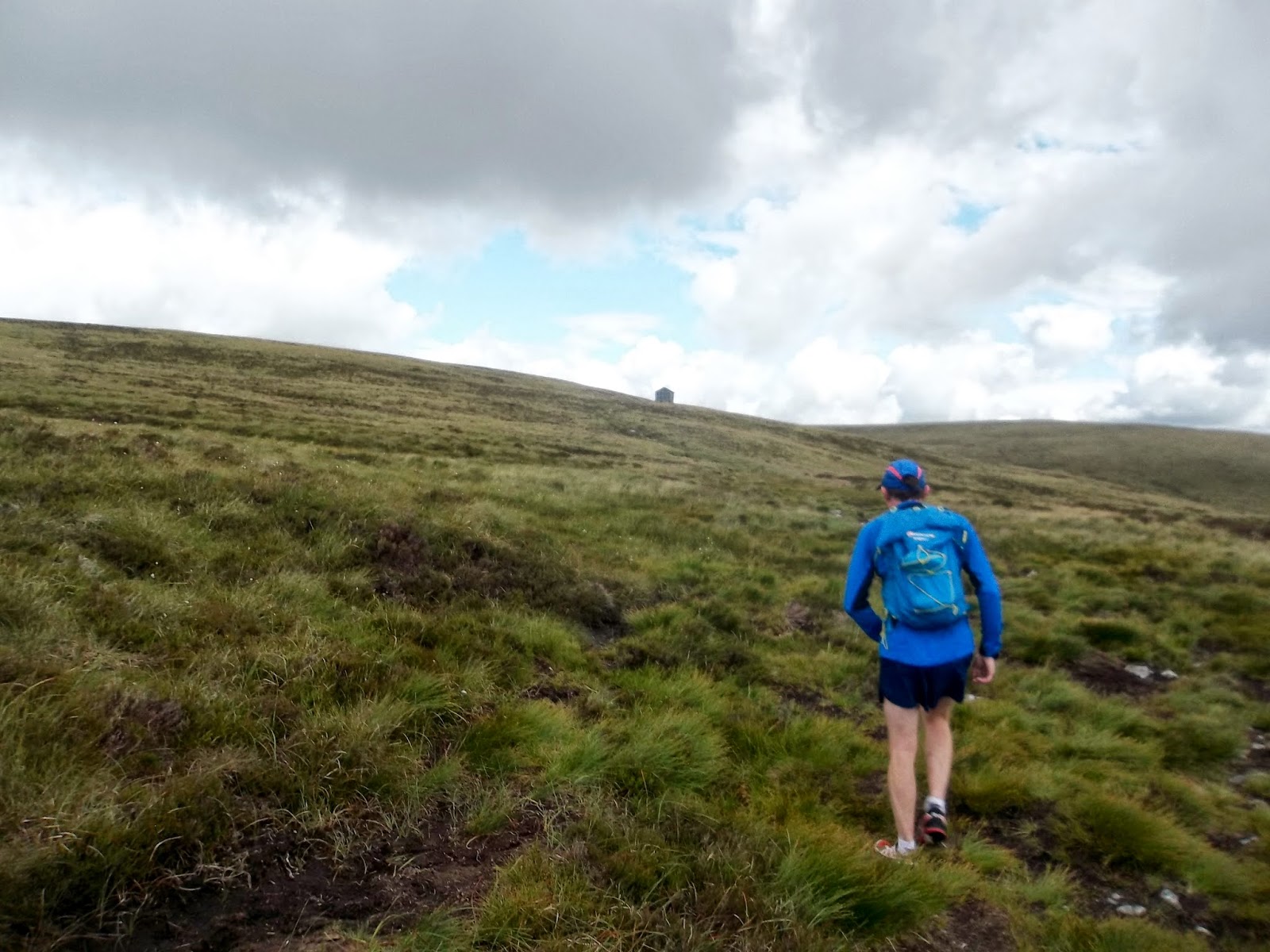
| climbing to Honister |
This climb did me in on the St Bega Ultra Recce. We had hared along the side of Derwent Water, stuffed our faces at Rosthwaite and then set off climbing. Today, I walked the majority of the way to Honister Slate Mine. I don't know why I didn't stop at the Slate Mine, they have nice biscuits there! For some reason, I just wanted to keep going and so set off up the old tram line.
 |
| Honister Slate Mine |
 |
| Tram Line path looking as though it leads directly to Haystacks |
I met a couple sat at the path junction and directed them towards Haystacks and that famous tarn. I sent them the gentler but longer way around, although I did tell them they could go the same way I was going. I carried on along the tram line path and then dropped down the path along Warnscale Bottom. This is a very rough path. I'm better than average on descending rough ground but that means I might have a slight advantage over other average runners, it doesn't mean I enjoy this sort of path, particularly when I still have a lot of distance to cover.
 |
| Dropping down to Buttermere on a very rough path |
 |
| Helicpoter in the field at Gatesgarth |
Gatesgarth Farm in Buttermere is about the halfway point and also the point where the terrain becomes flatter and easier under foot.
I headed across to Peggy's Bridge then continued on the shore line path which was as busy as usual.
I ran along the shoreline to buttermere and then continued through to Crummock Water to begin the climb up to Rannerdale Knotts.
The true course goes along the side of Rannerdale Knotts and up the Rannerdale Valley, famous for its springtime bluebell displays. I elected to go up to the top and then enjoy the rolling ridgeline down to pick up the trail around Whiteless Pike.
 |
| looking back from Rannerdale Knotts summit over Buttermere and Fleetwith Pike, both of which I have just ran along |
 |
| single track trail along the valley above Sail Beck - nice running when your feet are sore |
 |
| the trail finishes at the road at Rigg Beck |
The single track trail travels on the flank of the valley above Sail Beck. It travels the length of the valley and is pretty nice when you've already got 20-something miles in the bag and your feet are tired. It comes out at the road at Rigg Beck. I followed the road back into Portinscale and across the bridge to Keswick.
 |
| I ran the route from memory and was surprised to see I kept pretty close to the original route |
 |
| elevation profile 4323 feet of elevation according to Strava |


+(525x1024).jpg)
 As part of my training for the event, I've been trying to get some longer runs in. Today I wanted to pass the 50k mark, a significant milestone in distance running. It was also a great opportunity to fine tune gear, nutrition and running strategy. It went very well, I had no real low points and was able to eat the whole way around. I've been eating Nakd Bars on my long runs, trying to have one every hour. We both had a can of coke in Caldbeck and I was pleased to keep that down with no upset. Later on, as we were climbing to Dash Falls, I supplemented with Jelly Babies which gave me a sugar kick. I had water with hydration tablets in there. I set off with two litres, had used a litre at Caldbeck and filled back up to two litres there. I had plenty of water near the end. I tried Rhubarb and Custard boiled sweets, thinking that these would be nice to suck on, giving me a nice sugar trickle. I found out that plenty of saliva is necessary to eat these sweets, something you don't have a lot of after 25 miles. I have also decided I need a new bag as mine rubbed on my back where it was moving around. I ran in Salomon Speedcross 3 and have decided I need something more trail (rather than fell). A bit of cushioning and comfort are more important than grip on this route. Having said that, my feet held up well. I had a bit of a sore back towards the end (need some more core strength) but seem to have escaped with only a slightly sunburnt neck.